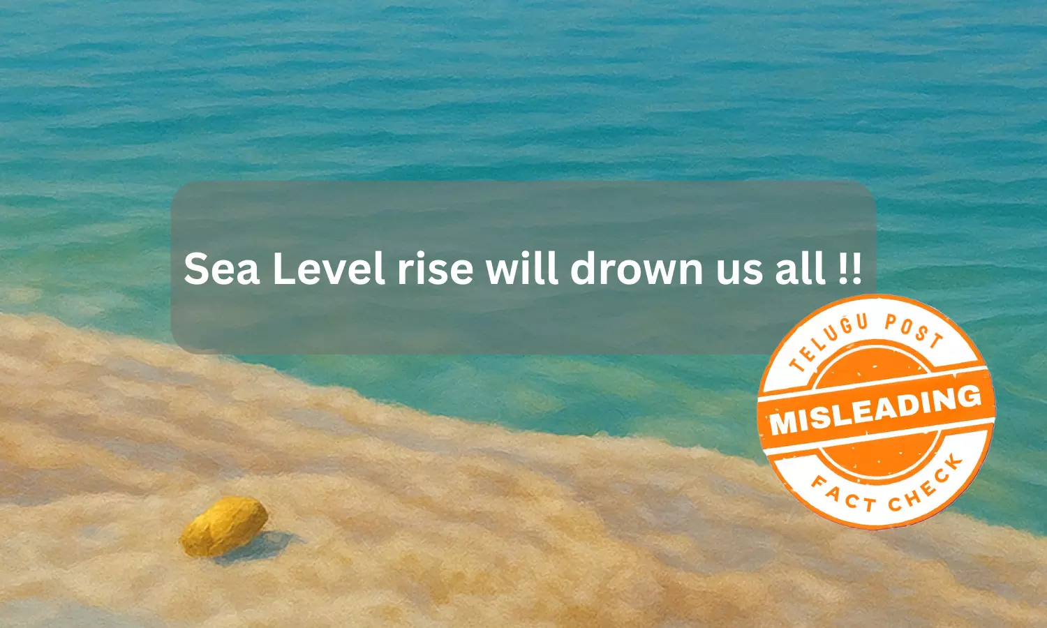
Fact Check: Sea Level Rise: A Measurable Threat, Not a Global Submersion
The claim is misleading. Yes, sea levels are rising slowly over time, about 1 foot every 100 years, as confirmed by NASA. But the idea that "we will all drown" is not true. Sea level rise is a serious issue for coastal areas, but it won’t flood the whole world.

Claim :
Sea Level rise will drown us allFact :
Sea level is rising at 1 foot per century as observed by NASA satellites
Sea level rise is one of the most visible consequences of climate change. As global temperatures increase, glaciers and ice sheets in regions like Greenland and Antarctica are melting. At the same time, ocean water expands as it warms. Both processes contribute to rising seas.
This is not a distant problem. Coastal cities such as Mumbai, Kolkata, Jakarta, New York, and Miami already face frequent and severe flooding. In small island nations like the Maldives, Tuvalu, and Kiribati, rising seas are swallowing land, putting entire communities at risk of displacement.
The impacts go beyond geography. Higher sea levels lead to more high-tide floods, which damage homes, roads, and farmland. In some areas, people may be forced to leave their homes permanently, becoming what are now known as “climate refugees.” Floodwaters can also contaminate drinking water, spread disease, and limit access to essential services like healthcare.
The crisis is growing, and the effects are already hitting some of the world’s most vulnerable populations.
Amid this, a text is surfacing on social media claiming 'Sea Level rise will drown us all'.
The screenshot of the claim is mentioned below.
Fact Check:
The claim is misleading. Sea level is rising at 1 foot per century as observed by NASA satellites.
According to experts, sea levels are rising and that’s a scientifically established fact, experts confirm. However, the claim that rising seas will “drown us all” is misleading. The real impact of sea level rise will be concentrated in coastal and low-lying regions. With proper planning and adaptation, many of these risks can be managed. The global population is not uniformly threatened, as the effects will vary depending on geography, emissions levels, and how well communities prepare.
Experts also point to satellite data from NASA and NOAA, which show that global sea level has been rising at an average rate of about 3.3 millimeters per year since the early 1990s. That adds up to roughly one foot (30 centimeters) per century if current trends continue.
While sea level rise does pose serious risks to island nations, coastal cities, and natural ecosystems, scientists caution against exaggeration. The focus, they say, should be on informed adaptation, not fear.
While searching, we found NASA Earth Observatory published sea-level data on their website.
In the article, they mentioned scientists have found that global mean sea level—shown in the line plot above and below—has risen 10.1 centimeters (3.98 inches) since 1992. Over the past 140 years, satellites and tide gauges together show that global sea level has risen 21 to 24 centimeters (8 to 9 inches).
Starting with TOPEX/Poseidon, NASA and partner space agencies have flown a continuous series of satellites that use radar altimeters to monitor ocean surface topography—essentially, the vertical shape and height of the ocean. Radar altimeters continually send out pulses of radio waves (microwaves) that reflect off the ocean surface back toward the satellite. The instruments calculate the time it takes for the signal to return, while also tracking the precise location of the satellite in space. From this, scientists derive the height of the sea surface directly underneath the satellite.
Since 1992, five missions with similar altimeters have repeated the same orbit every 10 days: TOPEX/Poseidon (1992 to 2006), Jason-1 (2001 to 2013), the Ocean Surface Topography Mission/Jason-2 (2008 to 2019), Jason-3 (2016 to present), and Sentinel-6 Michael Freilich (2020 to present). The missions were built through various partnerships between NASA, France’s Centre National d'Études Spatiales (CNES), the European Organisation for the Exploitation of Meteorological Satellites (EUMETSAT), the European Space Agency (ESA), and the U.S. National Oceanic and Atmospheric Administration (NOAA).
Together, the mission teams have assembled a unified, standardized ocean topography record that is equivalent to the work of a half-million tide gauges. The scientists accumulated and corroborated a data record that is now long enough and sensitive enough to detect global and regional sea level changes beyond the seasonal, yearly, and decadal cycles that naturally occur.
“With 30 years of data, we can finally see what a huge impact we have on the Earth’s climate,” said Josh Willis, an oceanographer at the Jet Propulsion Laboratory and NASA’s project scientist for Sentinel-6 Michael Freilich. “The rise of sea level caused by human interference with the climate now dwarfs the natural cycles. And it is happening faster and faster every decade.”
The map at the top of this page shows global trends in sea level as observed from 1993 to 2022 by TOPEX/Poseidon, the three Jason missions, and Sentinel-6 Michael Freilich. Note the spatial variations in the rate of sea level rise, with some parts of the ocean rising faster (depicted in red and deep orange) than the global rate. Many of the anomalies reflect long-term shifts in ocean currents and heat distribution. The altimetry data also show that the rate of sea level rise is accelerating. Over the course of the 20th century, global mean sea level rose at about 1.5 millimeters per year. By the early 1990s, it was about 2.5 mm per year. Over the past decade, the rate has increased to 3.9 mm (0.15 inches) per year.
Hence it confirms the claim is misleading. Yes, sea levels are rising slowly over time, about 1 foot every 100 years, as confirmed by NASA. But the idea that "we will all drown" is not true. Sea level rise is a serious issue for coastal areas, but it won’t flood the whole world.

